The planning application relates to land at south east Bury St Edmunds – one of five locations for strategic growth identified in St Edmundsbury Borough Council Adopted Core Strategy (2010) and the subject of a concept plan and planning policy in the Bury St Edmunds Vision 2031 Area Action Plan (approved in September 2014). The exhibition will include details of the proposals for a sustainable residential neighbourhood – Abbots Vale – from Hopkins Homes and Pigeon. The latest version of the Masterplan builds on the key themes that emerged as part of the initial public consultation in 2011 and has been subject to further consultation as part of the process to develop the Local Plan.
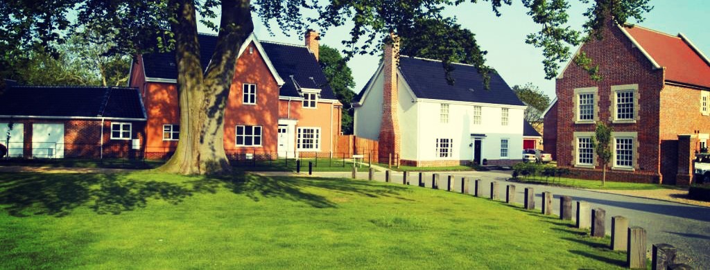
Our vision for Abbots Vale is a high quality, attractive, sustainable, neighbourhood which responds to and respects the distinctive fabric, landscape and heritage of Bury St Edmunds. The development will enhance the site’s key assets, including the River Lark corridor, while achieving an attractive and socially inclusive neighbourhood with a variety of homes and community facilities. Full details of the proposals including all materials from the public exhibition will be published on this website from Wednesday 20th May.
As a summary the proposed new neighbourhood of Abbots Vale will comprise:
- around 1,250 high quality homes of mixed tenure and size (including a proportion of affordable homes)
- a two hectare site for a new primary school and associated playing fields
- a substantial area of attractive new public open space (around 25 hectares), including access to the River Lark, new sports playing fields, extensive areas of public open space, play space, allotments and new landscaping areas
- new facilities including space for a community centre and a local centre offering a mix of local retail opportunities and facilities
- an extensive network of new and improved footpaths, cycle routes and riverside walks through the site, connecting to the town centre, Nowton Park and the surrounding countryside
- improvements to the local road network, including a new relief road connecting Rougham Hill and Sicklesmere Road to improve the flow of traffic
- ecological enhancements within the site through the retention and creation of new habitats including wetland areas
Please click here for a copy of the exhibition boards which were on display at the public exhibition.
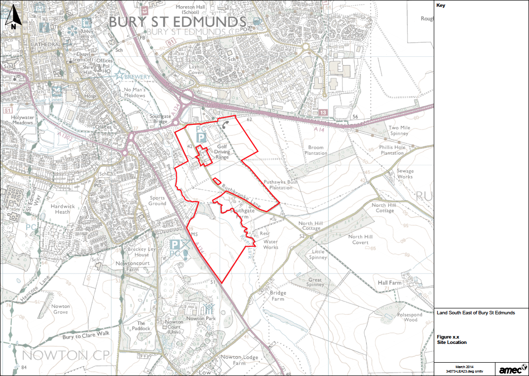
The map illustrates the site of the proposed development